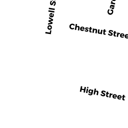
164 -66 CHESTNUT ST
Owner Information
EHWA, CAROL A.
100 BREWSTER ROAD
WALTHAM, MA 02451


Property Details
164 -66 CHESTNUT ST is classified as a Apartments with Four to Eight Units (Multi 4-8).
The primary structure on this property was built in 1900. There are 3,268ft2 of built area within this property. There is 3,268ft2 of residential/living space within this property. This property is listed as having 14 rooms. There are 4 units within this property.
164 -66 CHESTNUT ST is valued at $831,900. The land is valued at $320,000 and the structures are valued at $511,900.
The most recent deed for 164 -66 CHESTNUT ST is recorded at the local registrar in Book 13463, Page 011. 164 -66 CHESTNUT ST was last sold on Wednesday, June 14, 1978 for $52,000.
Assessment data from fiscal year 2022.
Flood Data
According to the FEMA National Flood Hazard Layer, this property does not appear to be in a flood zone. It may also be in an area not yet reviewed. Nonetheless, confirm this information prior to taking any action.
To view the flood hazards around this property, create a FEMA "Firmette" Map of the area around 164 -66 CHESTNUT ST.
Broadband Internet Providers
| Provider | Type | Bandwidth (mbps) | |
|---|---|---|---|
| RCN | Cable | 1000 | 20 |
| RCN | Cable | 500 | 20 |
| Comcast | Cable | 1000 | 35 |
| Viasat Inc | Satellite | 100 | 3 |
| VSAT Systems, LLC. | Satellite | 2 | 1 |
| HughesNet | Satellite | 25 | 3 |
| Verizon New England Inc. | DSL | 10 | 1 |
| Verizon New England Inc. | Fiber | 940 | 880 |
| GCI Communication Corp. | Satellite | 0 | 0 |
Broadband service provider data from December 2020.
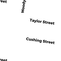
Adjacent Properties
- 170 -72 CHESTNUT ST
Apartments with Four to Eight Units owned by S&P HOLMES REALTY TRUST, - 160 -62 CHESTNUT ST
Two-Family Residential owned by JEAN-PHILIPPE, RUISLET & MARIE - 158 CHESTNUT ST
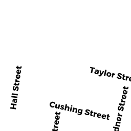
Two-Family Residential owned by ALONGE, FRANCESCO &GIUSEPPINA - 79 CUSHING ST
Single Family Residential owned by FALCONS LAIR, INC. - 81 -83 CUSHING ST
Apartments with Four to Eight Units owned by TWO BIRCH RD RLTY CORP. - 61 GARDNER ST
Two-Family Residential owned by HOHRATH, MATTHEW & SARAH L